Tag Archives: qgis

Extract Data From Maps QGIS

In this blog post I’ll show you how to extract data from maps using QGIS to georeference a map image and identify data points. The steps are: Start with a map image containing data you want to capture, such as marked locations Add a base map to QGIS that you will load the map image… Read More »
Where Were the 5000 Small Business Owners?

Where Were the 5000 Small Business Owners? A bit of a backlash A couple of days ago the Daily Telegraph published a list of 5000 small business owners who signed a letter in support of David Cameron’s Conservative party. Since it’s publication, however, there has been a bit of a backlash, with the letter being… Read More »

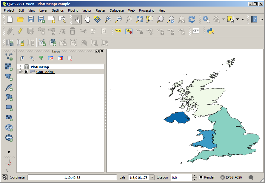
Plot Data On A Map With QGIS

How To Plot Data On A Map With QGIS One of the most useful things you can do with a GIS software package like QGIS is plot numerical data on a map. This post shows you how to plot data on a map with QGIS. I’ll be using the GBR_adm shapefile for the United United… Read More »

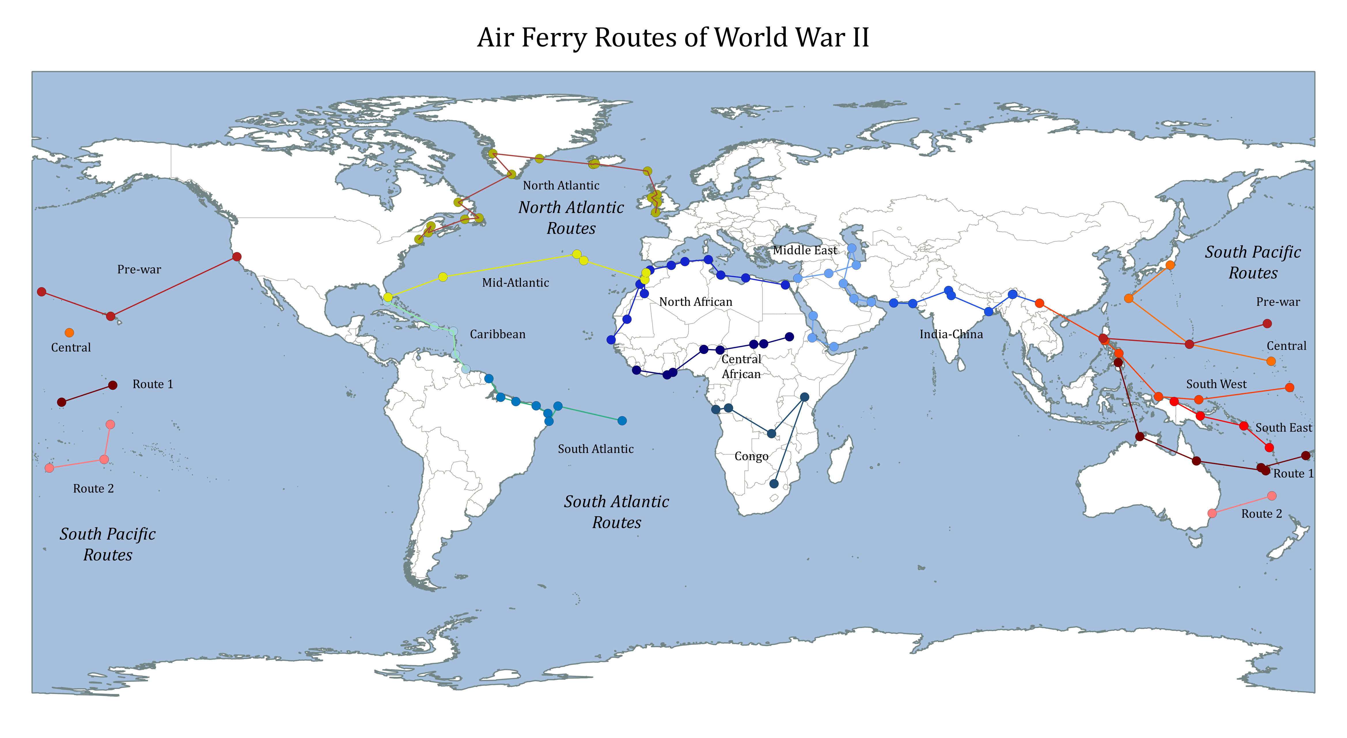
Map of World War 2 Air Ferry Routes

Map of World War 2 Air Ferry Routes During the World War 2 air ferry routes were used to safely transport equipment, personel and supplies across the globe. Search for the Atlantic Ferry Routes on Amazon [Sponsored Link] The wikipedia articles for the main routes didn’t seem to have a map image, so I thought… Read More »