Tag Archives: mapping

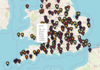
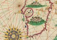
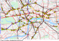
Extract Data From Maps QGIS

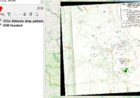
In this blog post I’ll show you how to extract data from maps using QGIS to georeference a map image and identify data points. The steps are: Start with a map image containing data you want to capture, such as marked locations Add a base map to QGIS that you will load the map image… Read More »

Time Team Map of Episodes

Time Team was a TV series which involved a team of archaeologists, surveyors, artists and other specialists spending three days to investigate an archaeological site. Episodes were mainly focused on the UK, but there were also some as far afield as Spain and America. I thought it would be interesting to see how episodes were… Read More »

Folium Lines and Markers

I was asked recently about adding multiple custom lines and markers to a Folium map. Folium can be a bit funny about the order in which things are applied so below gives an example of how you can later lines and markers. To make it easier to see which elements are which in the final… Read More »

Python Convert KML to GeoJSON

GeoJSON and KML are formats for storing spatial information. KML files are commonly found with Google Earth type applications, so it can be useful to convert KML to GeoJSON.  The python library kml2geojson can be used to convert KML to GeoJSON. kml2geojson works as either a tool from the command line, or can be used… Read More »