Category Archives: GIS

Nodal Points

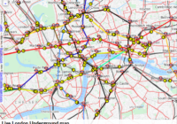
In geography a nodal point is the point at which different transport links come together. Nodal points are sometimes referred to as route centres. Nodal Point Examples Examples of nodal points include roads arriving together, a confluence of rivers or a rail junction. Nodal points are often associated with settlement sites, such as a town,… Read More »
Extract Data From Maps QGIS

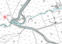
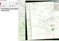
In this blog post I’ll show you how to extract data from maps using QGIS to georeference a map image and identify data points. The steps are: Start with a map image containing data you want to capture, such as marked locations Add a base map to QGIS that you will load the map image… Read More »

Folium Lines and Markers

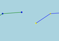
I was asked recently about adding multiple custom lines and markers to a Folium map. Folium can be a bit funny about the order in which things are applied so below gives an example of how you can later lines and markers. To make it easier to see which elements are which in the final… Read More »

UK University Locations

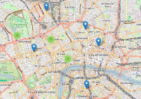
The UK has around 160 universities, located around the country. Here is a map of UK University Locations, made using Folium.   Download the UK university locations data [csv] Access the list of UK universities Python Code For UK University Locations How to convert postcodes to coordinates