Category Archives: GIS

List of UK Open Data Websites

List of UK Open Data Websites The UK national government as well as local governments have made available much data and GIS information. This is a list of UK Open Data Websites and repositories for your own research and projects. This list is not comprehensive – I’ve tried to focus on those that seem to… Read More »

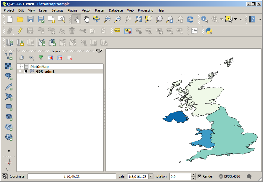
Plot Data On A Map With QGIS

How To Plot Data On A Map With QGIS One of the most useful things you can do with a GIS software package like QGIS is plot numerical data on a map. This post shows you how to plot data on a map with QGIS. I’ll be using the GBR_adm shapefile for the United United… Read More »

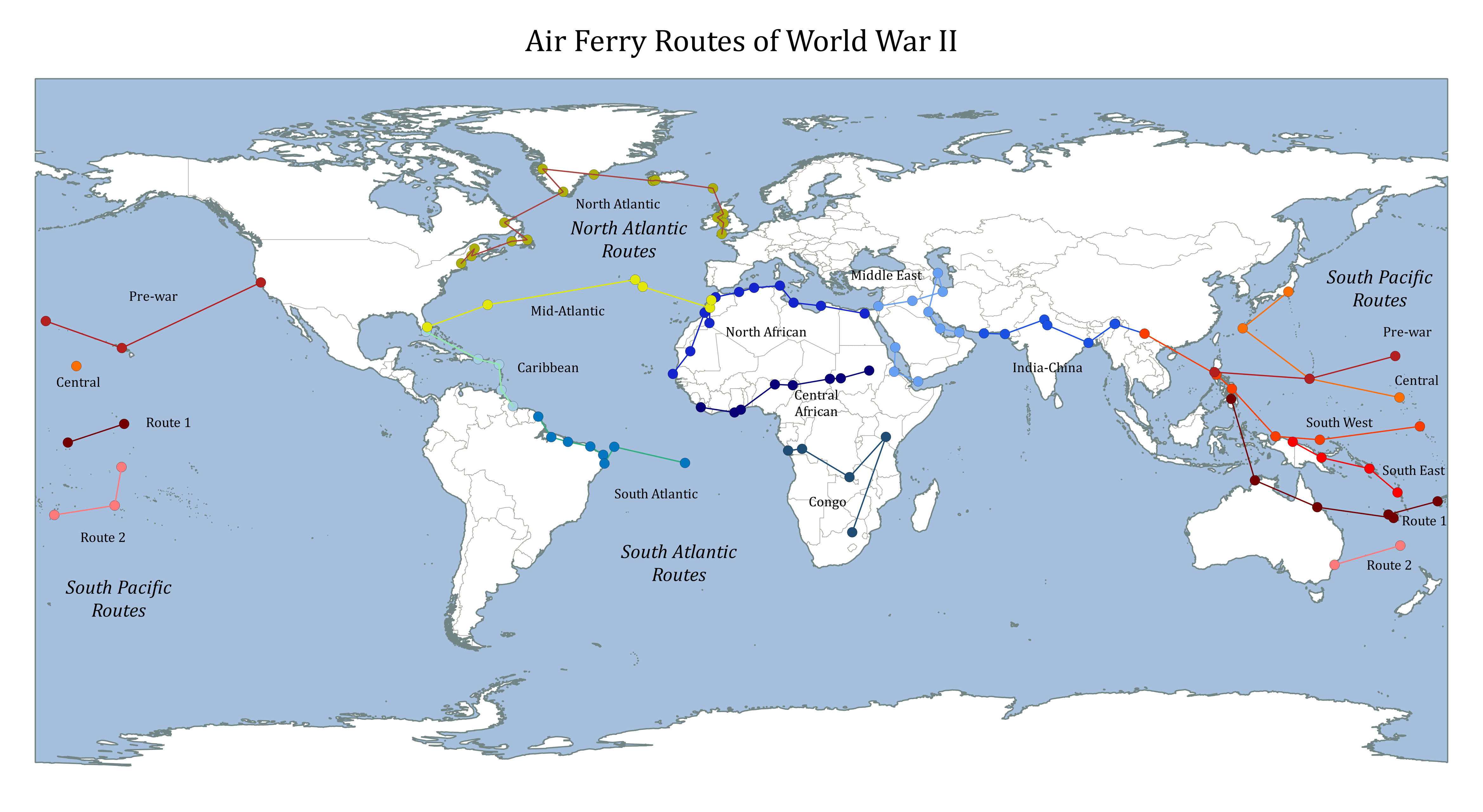
Map of World War 2 Air Ferry Routes

Map of World War 2 Air Ferry Routes During the World War 2 air ferry routes were used to safely transport equipment, personel and supplies across the globe. Search for the Atlantic Ferry Routes on Amazon [Sponsored Link] The wikipedia articles for the main routes didn’t seem to have a map image, so I thought… Read More »