Tag Archives: gis

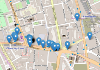
Folium Marker Clusters

Marker clusters can be a good way to simply a map containing many markers. When the map is zoomed out nearby markers are combined together into a cluster, which is separated out when the map zoom level is closer. In this post I show you how Folium marker clusters are easy to set up and… Read More »
Folium Map Tiles

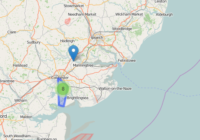
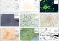
Using different map tiles can be a great way to change or improve the look of your map. This post shows you how to access Folium map tiles and switch between them. Folium Map Tiles Basic Code The basic code for changing the map tiles used by folium is to first add a specified tile… Read More »

Python GPX Import Coordinates

Gpx (GPS Exchange Format) is a common file format used to store exported GPS data. In this post I use the python module gpxpy to simply import the gpx coordinates from a gpx file. Search for Python Geospatial Analysis on Amazon [Sponsored Link] Python GPX Import Made Easy With gpxpy A Python GPX import is… Read More »

List of UK Open Data Websites

List of UK Open Data Websites The UK national government as well as local governments have made available much data and GIS information. This is a list of UK Open Data Websites and repositories for your own research and projects. This list is not comprehensive – I’ve tried to focus on those that seem to… Read More »